(2014 – 2015)
2. «Formation of geoinformational systems and hazard modelling within the framework of the international project «Prevention of and protection from flooding in the upper basins of rivers Siret and Prut via implementation of modern monitoring systems with automated stations – EAST AVERT»:
Project supervision and management
This project involved the following works:
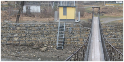
- Administration of the project and supervision of the processes, related to the implementation of the seismic monitoring systems and construction of automated stations EAST AVERT
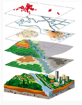
- Development of a geoinformational system and regional hazard map modelling